Map
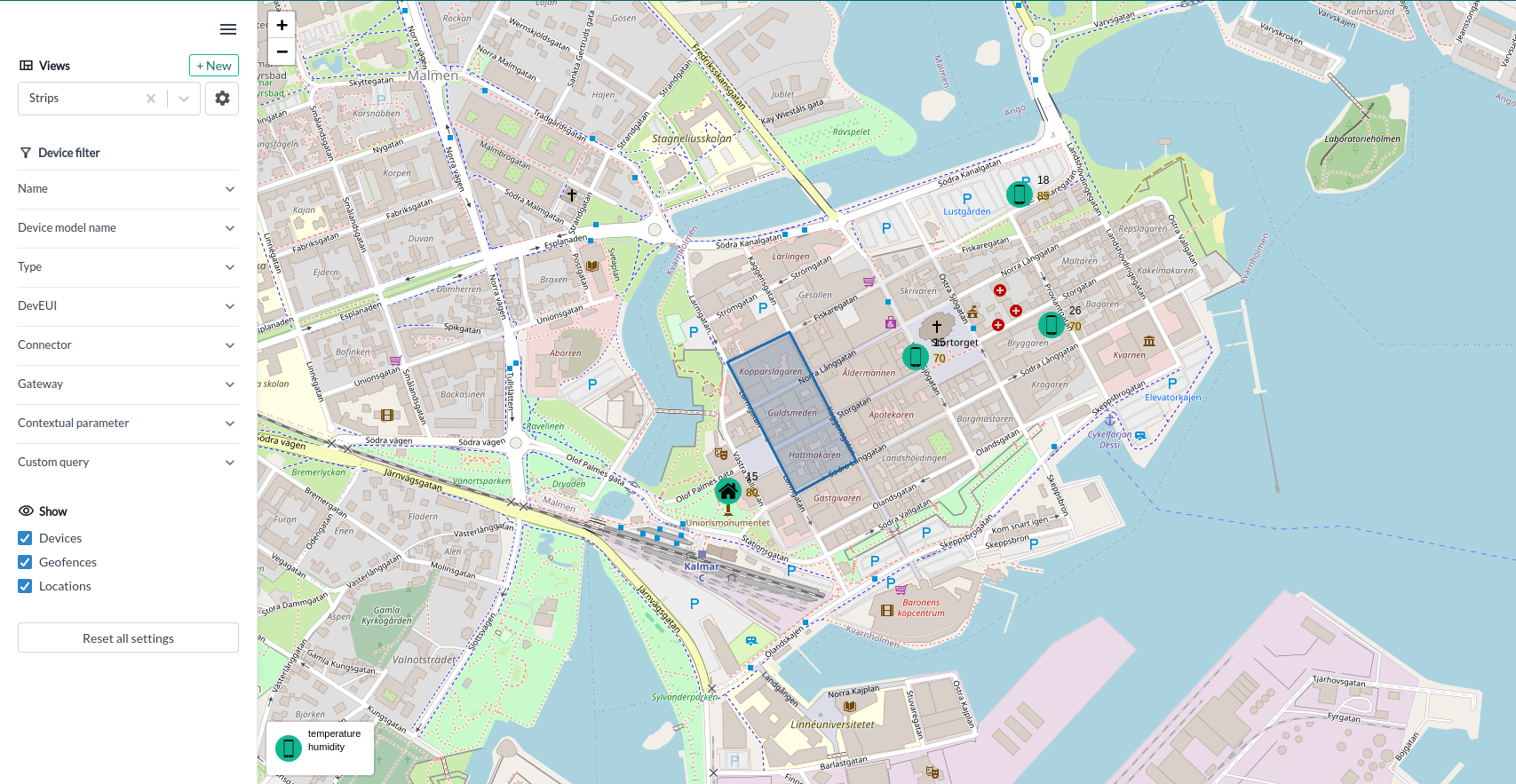
On the Map page you can view the location of your devices on a map.
You can also:
- Filter devices you want to see on the map.
- Show or hide devices, locations and geofences.
- Add or manage views (see map views section).

Adding a Device to a Map
- Go to your Device page in the control-panel.
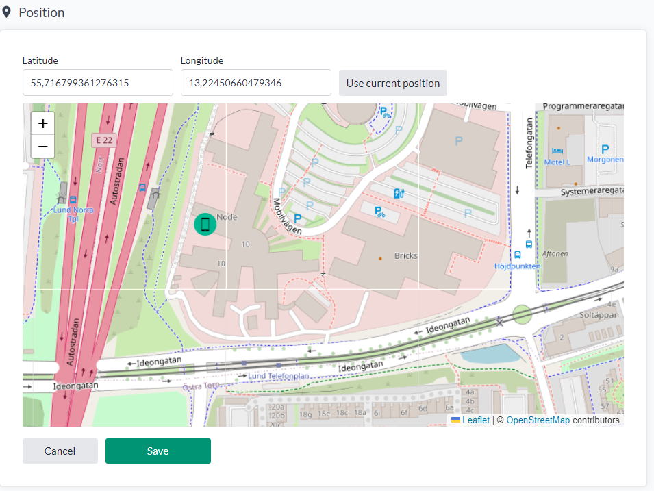
- Click on "position" tab in the device sidebar.
- Set position on the map by clicking on the map.
- Click on the
Savebutton to save the position of the device on the map.

Map Views
Map views allow you to save your current map and its settings, enabling you to return to it later.
Map views saves the following settings:
- Device filters
- Show/hide devices, locations and geofences
- Device values (See section Device Values section)
- Map start position (i.e. the initial center position and zoom level of the map)
Device Values
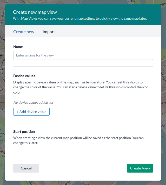
You can select up to three values to show beside the device icon. Use thresholds to color code the values. You can also star a device value to let the threshold color affect the device icon. Set up device values when creating or editing a map view.
Creating a map view:
- Go to the Maps page in the control-panel.
- Open the sidebar and click on the
+ Newbutton. - Enter a name for the view and optionally set up device values. Note that the your curent device filters and show/hide settings will be saved with the view. The current map position will be saved as the start position.
- Click on the
Createbutton to create the view.

Selecting a map view:
- Click on the
Viewsdropdown menu in the sidebar. - Select the view you want to use.
Editing a map view:
- Go to the Maps page in the control-panel.
- Open the sidebar and select a map view.
- Click on the cogwheel button.
- Edit the view settings.
- Click on the
Update viewbutton to save the changes.
Maps in dashboard
You can view your saved map views as widgets in your dashboard. Simply create a new Map widget and select your map view.
Geofences
Geofences are a method for defining a virtual perimeter around a real-world area. Yggio supports geofences through its own API. An event is triggered for a device when it enters or leaves a geofenced area.
You can also execute a geoquery to identify devices that are within a geofenced area or an area defined by the geoquery.
In Yggio v3.30, which introduces geofences, these can only be created via the Yggio REST API. For further information, please refer to the developer section on the Geofence API.